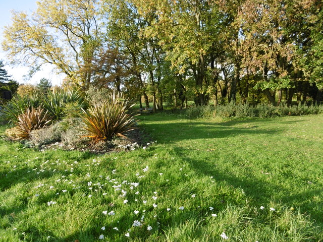
Stanmore Marsh
Introduction
The photograph on this page of Stanmore Marsh by Marathon as part of the Geograph project.
The Geograph project started in 2005 with the aim of publishing, organising and preserving representative images for every square kilometre of Great Britain, Ireland and the Isle of Man.
There are currently over 7.5m images from over 14,400 individuals and you can help contribute to the project by visiting https://www.geograph.org.uk

Image: © Marathon Taken: 28 Oct 2015
Stanmore Marsh is former common land that is shown on maps from the late 16th century onwards. Today what remains of the marsh as open land is on the east of where Marsh Lane becomes Honeypot Lane, and is divided into two sections by Whitchurch Lane. It appears that it was once at the boundary of the adjoining parishes of Great Stanmore and Little Stanmore and was grazed by the livestock of commoners from both parishes. It is seen here from Whitchurch Lane. More information can be found at http://www.londongardensonline.org.uk/gardens-online-record.asp?ID=HRW050

