Stone wall, Old Brumby Street
Introduction
The photograph on this page of Stone wall, Old Brumby Street by Jonathan Thacker as part of the Geograph project.
The Geograph project started in 2005 with the aim of publishing, organising and preserving representative images for every square kilometre of Great Britain, Ireland and the Isle of Man.

There are currently over 7.5m images from over 14,400 individuals and you can help contribute to the project by visiting https://www.geograph.org.uk
Stone wall, Old Brumby Street
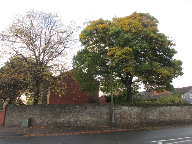
Image: © Jonathan Thacker Taken: 28 Oct 2015
Evidence of pre-industrial Scunthorpe is scarce. I suspect that at least the right hand side of this wall was there when this was the site of MacIntyre's Farm.
Images are licensed for reuse under creativecommons.org/licenses/by-sa/2.0
Image Location
Latitude
53.57565
Longitude
-0.650409