Cornwall Road, Leicester
Introduction
The photograph on this page of Cornwall Road, Leicester by David P Howard as part of the Geograph project.
The Geograph project started in 2005 with the aim of publishing, organising and preserving representative images for every square kilometre of Great Britain, Ireland and the Isle of Man.

There are currently over 7.5m images from over 14,400 individuals and you can help contribute to the project by visiting https://www.geograph.org.uk
Cornwall Road, Leicester
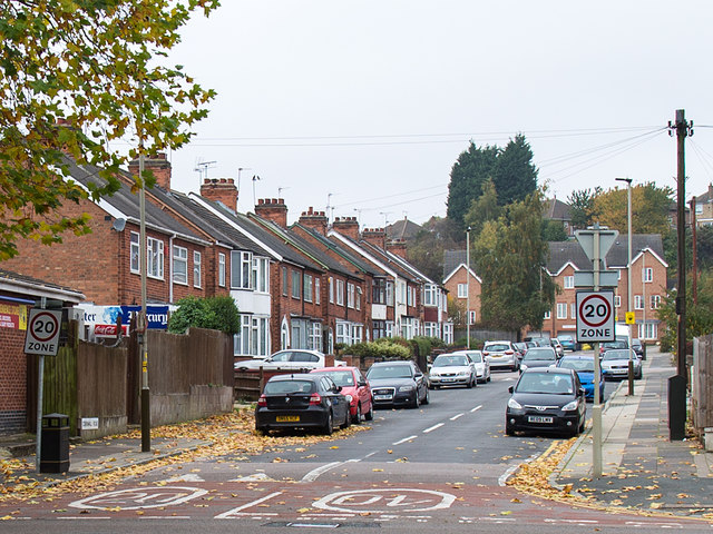
Image: © David P Howard Taken: 27 Oct 2015
A residential road near the city centre. Note the 20 mph speed restriction signs, and the road markings of 20 mph going in and 40 mph coming out.
Images are licensed for reuse under creativecommons.org/licenses/by-sa/2.0
Image Location
Latitude
52.64937
Longitude
-1.145316