Cottages at Higher Crossings
Introduction
The photograph on this page of Cottages at Higher Crossings by Alan Murray-Rust as part of the Geograph project.
The Geograph project started in 2005 with the aim of publishing, organising and preserving representative images for every square kilometre of Great Britain, Ireland and the Isle of Man.

There are currently over 7.5m images from over 14,400 individuals and you can help contribute to the project by visiting https://www.geograph.org.uk
Cottages at Higher Crossings
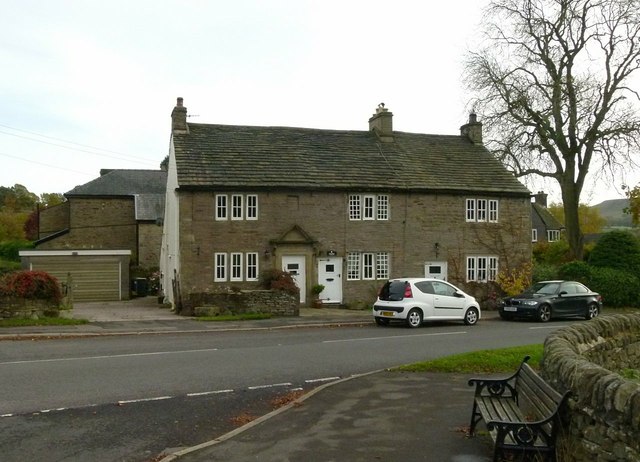
Image: © Alan Murray-Rust Taken: 25 Oct 2015
A group of three (originally two) cottages of 18th century origin built of the local gritstone. Listed Grade II.
Images are licensed for reuse under creativecommons.org/licenses/by-sa/2.0
Image Location
Latitude
53.32536
Longitude
-1.930598