View from Chapel-en-le-Frith station approach
Introduction
The photograph on this page of View from Chapel-en-le-Frith station approach by Alan Murray-Rust as part of the Geograph project.
The Geograph project started in 2005 with the aim of publishing, organising and preserving representative images for every square kilometre of Great Britain, Ireland and the Isle of Man.

There are currently over 7.5m images from over 14,400 individuals and you can help contribute to the project by visiting https://www.geograph.org.uk
View from Chapel-en-le-Frith station approach
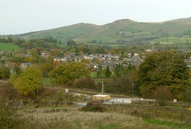
Image: © Alan Murray-Rust Taken: 25 Oct 2015
Looking across the town towards Mount Famine (centre left) and South Head (centre right). In the foreground is the former Midland Railway main line, now exclusively a freight line.
Images are licensed for reuse under creativecommons.org/licenses/by-sa/2.0
Image Location
Latitude
53.313487
Longitude
-1.91816