The Shore Circular Path
Introduction
The photograph on this page of The Shore Circular Path by Lairich Rig as part of the Geograph project.
The Geograph project started in 2005 with the aim of publishing, organising and preserving representative images for every square kilometre of Great Britain, Ireland and the Isle of Man.

There are currently over 7.5m images from over 14,400 individuals and you can help contribute to the project by visiting https://www.geograph.org.uk
The Shore Circular Path
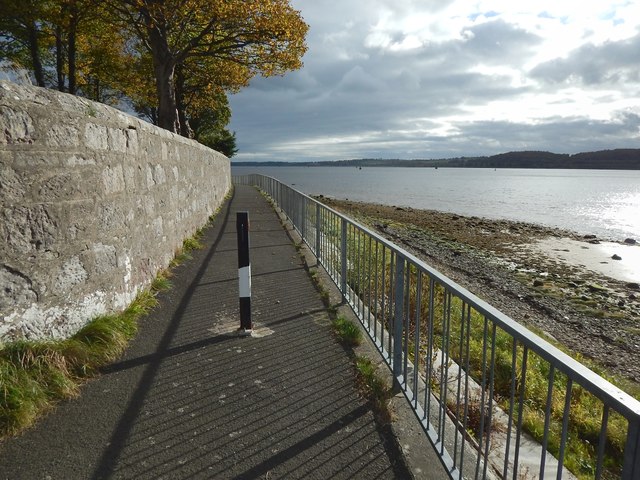
Image: © Lairich Rig Taken: 23 Oct 2015
The subject is as in Image, but the view is in the opposite direction. Not far ahead, though hidden by the wall and the curve in the path, are Image, and the foot of Clydeshore Road.
Images are licensed for reuse under creativecommons.org/licenses/by-sa/2.0
Image Location
Latitude
55.938195
Longitude
-4.580293