Old road in Charlestown
Introduction
The photograph on this page of Old road in Charlestown by Richard Webb as part of the Geograph project.
The Geograph project started in 2005 with the aim of publishing, organising and preserving representative images for every square kilometre of Great Britain, Ireland and the Isle of Man.

There are currently over 7.5m images from over 14,400 individuals and you can help contribute to the project by visiting https://www.geograph.org.uk
Old road in Charlestown
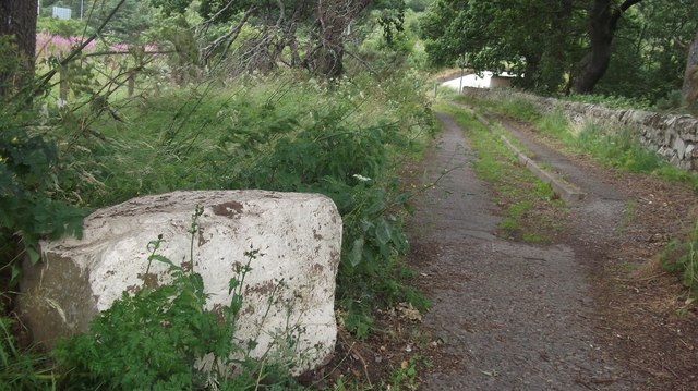
Image: © Richard Webb Taken: 4 Aug 2015
Now cut by the A9 dual carriageway, this length of road has become a path leading to a subway.
Images are licensed for reuse under creativecommons.org/licenses/by-sa/2.0
Image Location
Latitude
57.507694
Longitude
-4.263918