Signs, North Kessock
Introduction
The photograph on this page of Signs, North Kessock by Richard Webb as part of the Geograph project.
The Geograph project started in 2005 with the aim of publishing, organising and preserving representative images for every square kilometre of Great Britain, Ireland and the Isle of Man.

There are currently over 7.5m images from over 14,400 individuals and you can help contribute to the project by visiting https://www.geograph.org.uk
Signs, North Kessock
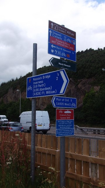
Image: © Richard Webb Taken: 4 Aug 2015
At the northern end of the bridge. Although I knew that the Cromarty Ferry was down, it was still deeply annoying - an extreme case of the current national obsession with closing roads.
Images are licensed for reuse under creativecommons.org/licenses/by-sa/2.0
Image Location
Latitude
57.501744
Longitude
-4.239847