OS rivet - Hendra Croft, former tollhouse
Introduction
The photograph on this page of OS rivet - Hendra Croft, former tollhouse by Richard Law as part of the Geograph project.
The Geograph project started in 2005 with the aim of publishing, organising and preserving representative images for every square kilometre of Great Britain, Ireland and the Isle of Man.

There are currently over 7.5m images from over 14,400 individuals and you can help contribute to the project by visiting https://www.geograph.org.uk
OS rivet - Hendra Croft, former tollhouse
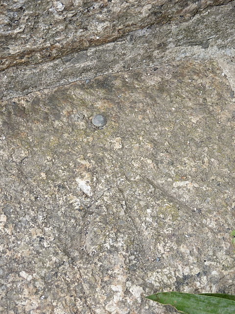
Image: © Richard Law Taken: 14 Oct 2015
An OS rivet and arrow mark, on the front step of the Image; originally levelled in 1972 at 122.171m above Ordnance Datum Newlyn.
Images are licensed for reuse under creativecommons.org/licenses/by-sa/2.0
Image Location
Latitude
50.109664
Longitude
-5.358059