Baldersby (2)
Introduction
The photograph on this page of Baldersby (2) by Chris Heaton as part of the Geograph project.
The Geograph project started in 2005 with the aim of publishing, organising and preserving representative images for every square kilometre of Great Britain, Ireland and the Isle of Man.

There are currently over 7.5m images from over 14,400 individuals and you can help contribute to the project by visiting https://www.geograph.org.uk
Baldersby (2)
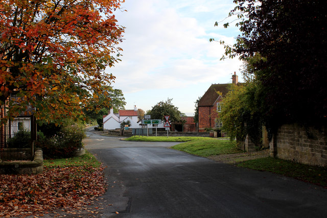
Image: © Chris Heaton Taken: 20 Oct 2015
Quiet lane approaching the main A61 Ripon/Thirsk trunk road in the village of Baldersby.
Images are licensed for reuse under creativecommons.org/licenses/by-sa/2.0
Image Location
Latitude
54.202014
Longitude
-1.456532