Road closure, Crawford Street
Introduction
The photograph on this page of Road closure, Crawford Street by Oliver Dixon as part of the Geograph project.
The Geograph project started in 2005 with the aim of publishing, organising and preserving representative images for every square kilometre of Great Britain, Ireland and the Isle of Man.

There are currently over 7.5m images from over 14,400 individuals and you can help contribute to the project by visiting https://www.geograph.org.uk
Road closure, Crawford Street
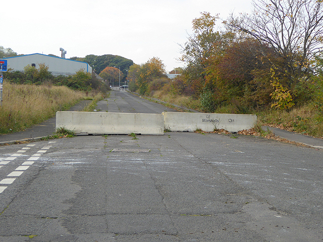
Image: © Oliver Dixon Taken: 26 Oct 2015
Two large concreete slabs form a chicane which prevents cars driving through but allows cyclists following the National Cycle Network route 1 (Coast and Castles).
Images are licensed for reuse under creativecommons.org/licenses/by-sa/2.0
Image Location
Latitude
55.132169
Longitude
-1.526474