West Wellow, restricted byway
Introduction
The photograph on this page of West Wellow, restricted byway by Mike Faherty as part of the Geograph project.
The Geograph project started in 2005 with the aim of publishing, organising and preserving representative images for every square kilometre of Great Britain, Ireland and the Isle of Man.

There are currently over 7.5m images from over 14,400 individuals and you can help contribute to the project by visiting https://www.geograph.org.uk
West Wellow, restricted byway
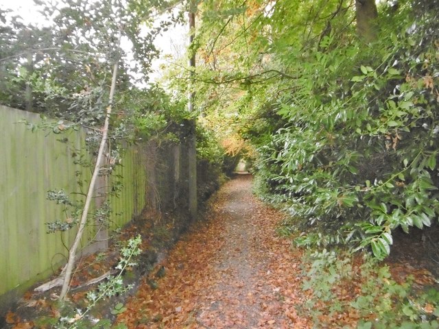
Image: © Mike Faherty Taken: 27 Oct 2015
A tree-lined route from Whinwhistle Road to A36 (Crawley Hill).
Images are licensed for reuse under creativecommons.org/licenses/by-sa/2.0
Image Location
Latitude
50.964306
Longitude
-1.56606