Agnes Street, Brighton
Introduction
The photograph on this page of Agnes Street, Brighton by Simon Carey as part of the Geograph project.
The Geograph project started in 2005 with the aim of publishing, organising and preserving representative images for every square kilometre of Great Britain, Ireland and the Isle of Man.

There are currently over 7.5m images from over 14,400 individuals and you can help contribute to the project by visiting https://www.geograph.org.uk
Agnes Street, Brighton
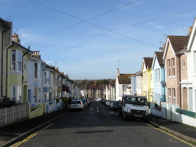
Image: © Simon Carey Taken: 25 Oct 2015
A residential street that runs between Wellington Street and De Montfort Road that was developed in the early 1870s.
Images are licensed for reuse under creativecommons.org/licenses/by-sa/2.0
Image Location
Latitude
50.832164
Longitude
-0.12525