Harborne Walkway ,Hagley Road Bridge
Introduction
The photograph on this page of Harborne Walkway ,Hagley Road Bridge by Alan Murray-Rust as part of the Geograph project.
The Geograph project started in 2005 with the aim of publishing, organising and preserving representative images for every square kilometre of Great Britain, Ireland and the Isle of Man.

There are currently over 7.5m images from over 14,400 individuals and you can help contribute to the project by visiting https://www.geograph.org.uk
Harborne Walkway ,Hagley Road Bridge
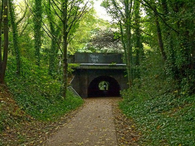
Image: © Alan Murray-Rust Taken: 21 Oct 2015
The far end of the bridge is a modern concrete tube, scarcely tall enough for cyclists to pass through, and the trackbed has been substantially raised through the bridge. Compare the equivalent picture on this page http://www.disused-stations.org.uk/h/hagley_road/ .
Images are licensed for reuse under creativecommons.org/licenses/by-sa/2.0
Image Location
Latitude
52.472734
Longitude
-1.953288