Red Crag Formation
Introduction
The photograph on this page of Red Crag Formation by Matthew Chadwick as part of the Geograph project.
The Geograph project started in 2005 with the aim of publishing, organising and preserving representative images for every square kilometre of Great Britain, Ireland and the Isle of Man.

There are currently over 7.5m images from over 14,400 individuals and you can help contribute to the project by visiting https://www.geograph.org.uk
Red Crag Formation
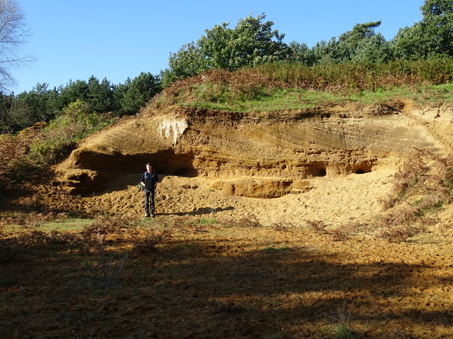
Image: © Matthew Chadwick Taken: 26 Oct 2015
A series of Pliocene to Pleistocene deposits representing a tidal dune system with herringbone cross stratification and lenticular bedding. There are also several rhythmite beds depicting storm surges.
Images are licensed for reuse under creativecommons.org/licenses/by-sa/2.0
Image Location
Latitude
52.091673
Longitude
1.453371