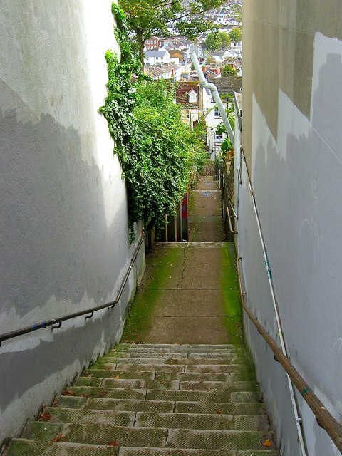
The Cats' Creep, Round Hill, Brighton
Introduction
The photograph on this page of The Cats' Creep, Round Hill, Brighton by Simon Carey as part of the Geograph project.
The Geograph project started in 2005 with the aim of publishing, organising and preserving representative images for every square kilometre of Great Britain, Ireland and the Isle of Man.
There are currently over 7.5m images from over 14,400 individuals and you can help contribute to the project by visiting https://www.geograph.org.uk

Image: © Simon Carey Taken: 25 Oct 2015
The steps between Richmond Road and Roundhill Crescent have been known by this name since at least 1917. It was originally laid out as a street, called Lennox Road on the 1875 OS map, but was found to be too steep for a horse and cart to negotiate and was not developed. It had been reduced to a footpath by the early 20th century containing 166 steps and access to open tracts of land on the eastern slope of Round Hill.

