Hampstead Heath Extension
Introduction
The photograph on this page of Hampstead Heath Extension by Martin Addison as part of the Geograph project.
The Geograph project started in 2005 with the aim of publishing, organising and preserving representative images for every square kilometre of Great Britain, Ireland and the Isle of Man.

There are currently over 7.5m images from over 14,400 individuals and you can help contribute to the project by visiting https://www.geograph.org.uk
Hampstead Heath Extension
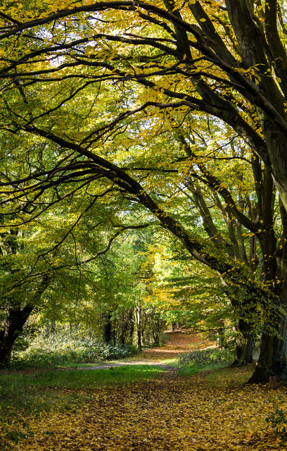
Image: © Martin Addison Taken: 26 Oct 2015
Autumnal colours dominate this view of the horse ride. Sometimes referred to as The Gallops, the ride circumnavigates the southern part of the Extension and forms part of a network of horse rides around Hampstead Heath.
Images are licensed for reuse under creativecommons.org/licenses/by-sa/2.0
Image Location
Latitude
51.570723
Longitude
-0.179122