Moorfield Road
Introduction
The photograph on this page of Moorfield Road by Alan Hunt as part of the Geograph project.
The Geograph project started in 2005 with the aim of publishing, organising and preserving representative images for every square kilometre of Great Britain, Ireland and the Isle of Man.

There are currently over 7.5m images from over 14,400 individuals and you can help contribute to the project by visiting https://www.geograph.org.uk
Moorfield Road
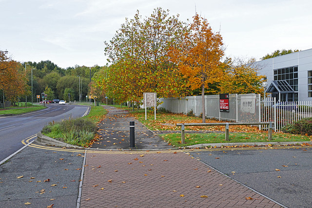
Image: © Alan Hunt Taken: 25 Oct 2015
The main feeder road for the Slyfield Industrial Area near Guildford. The woods beyond the traffic lights is the Stoke Hill area of Stringers Common.
Images are licensed for reuse under creativecommons.org/licenses/by-sa/2.0
Image Location
Latitude
51.26157
Longitude
-0.569921