St Mark's Church, Belah
Introduction
The photograph on this page of St Mark's Church, Belah by Rose and Trev Clough as part of the Geograph project.
The Geograph project started in 2005 with the aim of publishing, organising and preserving representative images for every square kilometre of Great Britain, Ireland and the Isle of Man.

There are currently over 7.5m images from over 14,400 individuals and you can help contribute to the project by visiting https://www.geograph.org.uk
St Mark's Church, Belah
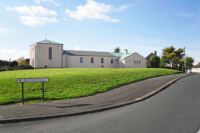
Image: © Rose and Trev Clough Taken: 14 Oct 2015
This Anglican church was built in 1952 to serve the expanding housing estates in north Carlisle. Today it is used for community and social activities as well as for worship (Information from church website http://www.stanwixchurch.org ). St Mark's is paired with Image .
Images are licensed for reuse under creativecommons.org/licenses/by-sa/2.0
Image Location
Latitude
54.912039
Longitude
-2.944762