South western approach into Laide
Introduction
The photograph on this page of South western approach into Laide by Nigel Brown as part of the Geograph project.
The Geograph project started in 2005 with the aim of publishing, organising and preserving representative images for every square kilometre of Great Britain, Ireland and the Isle of Man.

There are currently over 7.5m images from over 14,400 individuals and you can help contribute to the project by visiting https://www.geograph.org.uk
South western approach into Laide
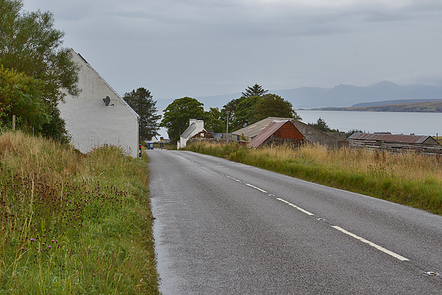
Image: © Nigel Brown Taken: 6 Oct 2015
The A832 approaches the scattered community. Gruinard Bay can be seen beyond, with the mountains of Coigach in the distance.
Images are licensed for reuse under creativecommons.org/licenses/by-sa/2.0
Image Location
Latitude
57.863413
Longitude
-5.54385