Grade II* Listed number 5 Dodington, Whitchurch
Introduction
The photograph on this page of Grade II* Listed number 5 Dodington, Whitchurch by Jaggery as part of the Geograph project.
The Geograph project started in 2005 with the aim of publishing, organising and preserving representative images for every square kilometre of Great Britain, Ireland and the Isle of Man.

There are currently over 7.5m images from over 14,400 individuals and you can help contribute to the project by visiting https://www.geograph.org.uk
Grade II* Listed number 5 Dodington, Whitchurch
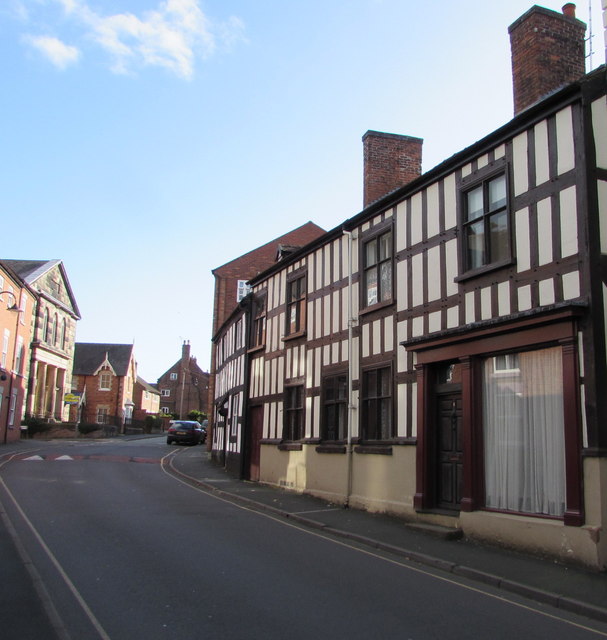
Image: © Jaggery Taken: 22 Oct 2015
Timber-framed house built probably in the mid to late 16th century with early 17th century additions. The door on the left formerly led to the stables.
Images are licensed for reuse under creativecommons.org/licenses/by-sa/2.0
Image Location
Latitude
52.967011
Longitude
-2.68203