Bath Street, Brighton
Introduction
The photograph on this page of Bath Street, Brighton by Simon Carey as part of the Geograph project.
The Geograph project started in 2005 with the aim of publishing, organising and preserving representative images for every square kilometre of Great Britain, Ireland and the Isle of Man.

There are currently over 7.5m images from over 14,400 individuals and you can help contribute to the project by visiting https://www.geograph.org.uk
Bath Street, Brighton
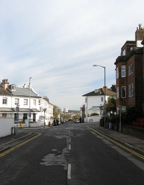
Image: © Simon Carey Taken: 25 Oct 2015
A residential street that runs from Dyke Road to Howard Place that was developed in the late 1840s. The section in the foreground south of Buckingham Place is part of the A2010 one way system through Seven Dials. Image can be seen in the distance.
Images are licensed for reuse under creativecommons.org/licenses/by-sa/2.0
Image Location
Latitude
50.831226
Longitude
-0.14531