Field near Whitestaunton
Introduction
The photograph on this page of Field near Whitestaunton by Nigel Mykura as part of the Geograph project.
The Geograph project started in 2005 with the aim of publishing, organising and preserving representative images for every square kilometre of Great Britain, Ireland and the Isle of Man.

There are currently over 7.5m images from over 14,400 individuals and you can help contribute to the project by visiting https://www.geograph.org.uk
Field near Whitestaunton
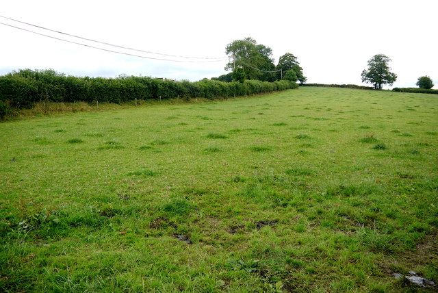
Image: © Nigel Mykura Taken: 7 Aug 2015
This pasture field is alongside the A30 which is behind the hedge on the left. It is close to the junction where the minor road from Whitestaunton meets the A30.
Images are licensed for reuse under creativecommons.org/licenses/by-sa/2.0
Image Location
Latitude
50.882669
Longitude
-3.022299