Valley near Nant-y-gwyrddail
Introduction
The photograph on this page of Valley near Nant-y-gwyrddail by Hansjoerg Lipp as part of the Geograph project.
The Geograph project started in 2005 with the aim of publishing, organising and preserving representative images for every square kilometre of Great Britain, Ireland and the Isle of Man.

There are currently over 7.5m images from over 14,400 individuals and you can help contribute to the project by visiting https://www.geograph.org.uk
Valley near Nant-y-gwyrddail
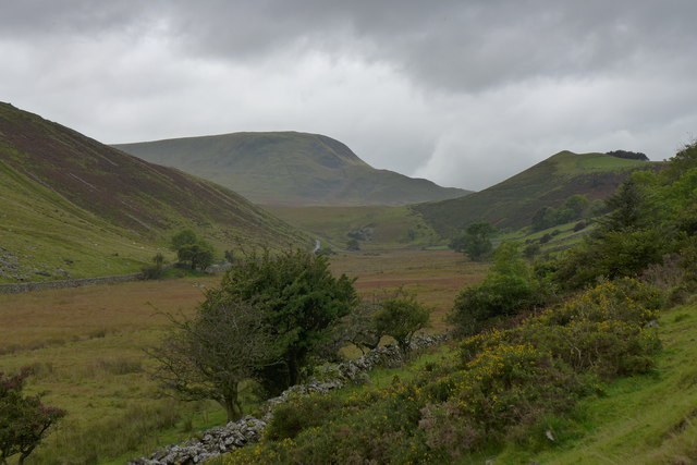
Image: © Hansjoerg Lipp Taken: 6 Oct 2015
Not a lot of changes over the last nine years according to Image: The grass was greener and the sky was bluer.
Images are licensed for reuse under creativecommons.org/licenses/by-sa/2.0
Image Location
Latitude
52.710651
Longitude
-3.961718