Maple Drive, Farnley - north end
Introduction
The photograph on this page of Maple Drive, Farnley - north end by Stephen Craven as part of the Geograph project.
The Geograph project started in 2005 with the aim of publishing, organising and preserving representative images for every square kilometre of Great Britain, Ireland and the Isle of Man.

There are currently over 7.5m images from over 14,400 individuals and you can help contribute to the project by visiting https://www.geograph.org.uk
Maple Drive, Farnley - north end
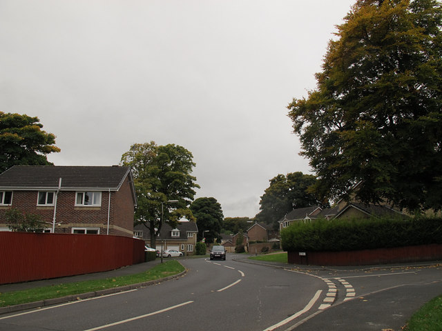
Image: © Stephen Craven Taken: 18 Oct 2015
The road markings encourage motorists to use this newer residential road as a shortcut bypassing the older Chapel Lane (right) with its sharp blind bend. See Image for the other end of the road.
Images are licensed for reuse under creativecommons.org/licenses/by-sa/2.0
Image Location
Latitude
53.785347
Longitude
-1.622201