Flooding, Borkwood Court
Introduction
The photograph on this page of Flooding, Borkwood Court by Ian Capper as part of the Geograph project.
The Geograph project started in 2005 with the aim of publishing, organising and preserving representative images for every square kilometre of Great Britain, Ireland and the Isle of Man.

There are currently over 7.5m images from over 14,400 individuals and you can help contribute to the project by visiting https://www.geograph.org.uk
Flooding, Borkwood Court
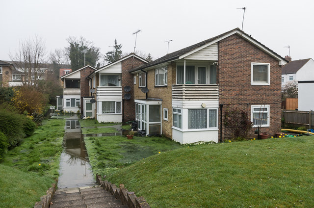
Image: © Ian Capper Taken: 27 Mar 2014
Although Orpington is in a dry valley, the current source of the River Cray being the pond in Priory Gardens at the north end of High Street, high water table levels can lead to flooding further south. After exceptionally high rainfall in early 2014, this is the fate that befell Borkwood Court, a block of flats in Sevenoaks Road.
Images are licensed for reuse under creativecommons.org/licenses/by-sa/2.0
Image Location
Latitude
51.363198
Longitude
0.090958