Shapinsay: the South Church from the east
Introduction
The photograph on this page of Shapinsay: the South Church from the east by Chris Downer as part of the Geograph project.
The Geograph project started in 2005 with the aim of publishing, organising and preserving representative images for every square kilometre of Great Britain, Ireland and the Isle of Man.

There are currently over 7.5m images from over 14,400 individuals and you can help contribute to the project by visiting https://www.geograph.org.uk
Shapinsay: the South Church from the east
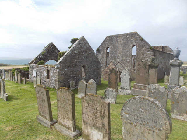
Image: © Chris Downer Taken: 4 Aug 2015
This view of Image] takes in the Balfour family's burial compound, a separate building on the east side of the churchyard.
Images are licensed for reuse under creativecommons.org/licenses/by-sa/2.0
Image Location


Leaflet Map data © OpenStreetMap
Latitude
59.032982
Longitude
-2.868144