Southwest end of Bark Hill, Whitchurch
Introduction
The photograph on this page of Southwest end of Bark Hill, Whitchurch by Jaggery as part of the Geograph project.
The Geograph project started in 2005 with the aim of publishing, organising and preserving representative images for every square kilometre of Great Britain, Ireland and the Isle of Man.

There are currently over 7.5m images from over 14,400 individuals and you can help contribute to the project by visiting https://www.geograph.org.uk
Southwest end of Bark Hill, Whitchurch
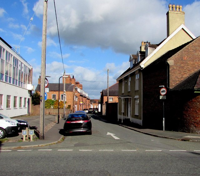
Image: © Jaggery Taken: 22 Oct 2015
Viewed across the B5476 looking along Bark Hill towards Watergate and Dodington. The white arrow on the road surface shows direction of travel on a one-way street. Whitchurch Telephone Exchange http://www.geograph.org.uk/photo/4714318 is on the left.
Images are licensed for reuse under creativecommons.org/licenses/by-sa/2.0
Image Location
Latitude
52.967093
Longitude
-2.683371