Information on Toton Water Mill
Introduction
The photograph on this page of Information on Toton Water Mill by David Lally as part of the Geograph project.
The Geograph project started in 2005 with the aim of publishing, organising and preserving representative images for every square kilometre of Great Britain, Ireland and the Isle of Man.

There are currently over 7.5m images from over 14,400 individuals and you can help contribute to the project by visiting https://www.geograph.org.uk
Information on Toton Water Mill
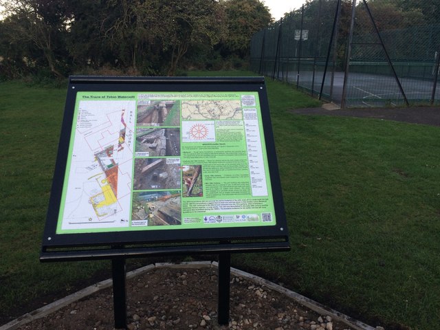
Image: © David Lally Taken: 24 Sep 2015
Brand new information board about the excavations done last year Image The base was tarmacked later this day. For more info see http://totonunearthed.org.uk .
Images are licensed for reuse under creativecommons.org/licenses/by-sa/2.0
Image Location
Latitude
52.904425
Longitude
-1.25589