Row of houses, Highgate, Whitchurch
Introduction
The photograph on this page of Row of houses, Highgate, Whitchurch by Jaggery as part of the Geograph project.
The Geograph project started in 2005 with the aim of publishing, organising and preserving representative images for every square kilometre of Great Britain, Ireland and the Isle of Man.

There are currently over 7.5m images from over 14,400 individuals and you can help contribute to the project by visiting https://www.geograph.org.uk
Row of houses, Highgate, Whitchurch
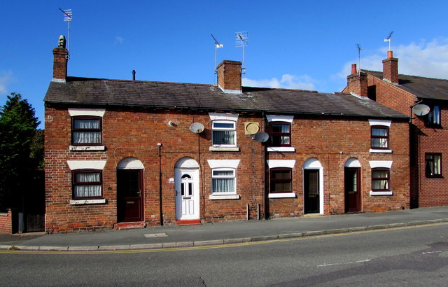
Image: © Jaggery Taken: 22 Oct 2015
Alongside the B5476 Highgate, near the corner of the B5398 Wrexham Road, out of shot on the left. The corner is the western end of the B5476, a 22km long route from the A528 at Harmer Hill.
Images are licensed for reuse under creativecommons.org/licenses/by-sa/2.0
Image Location
Latitude
52.966539
Longitude
-2.685894