Trees and fields near to High Woodside
Introduction
The photograph on this page of Trees and fields near to High Woodside by Trevor Littlewood as part of the Geograph project.
The Geograph project started in 2005 with the aim of publishing, organising and preserving representative images for every square kilometre of Great Britain, Ireland and the Isle of Man.

There are currently over 7.5m images from over 14,400 individuals and you can help contribute to the project by visiting https://www.geograph.org.uk
Trees and fields near to High Woodside
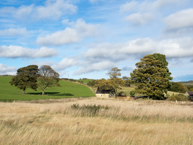
Image: © Trevor Littlewood Taken: 24 Oct 2015
Certain of the buildings at High Woodside must be in view but most are concealed among the scattered trees in this view, north-east from the A691 south, of the village of Iveston.
Images are licensed for reuse under creativecommons.org/licenses/by-sa/2.0
Image Location
Latitude
54.841477
Longitude
-1.785869