Junction of Sinks Lane and Moor End Lane
Introduction
The photograph on this page of Junction of Sinks Lane and Moor End Lane by Roger Templeman as part of the Geograph project.
The Geograph project started in 2005 with the aim of publishing, organising and preserving representative images for every square kilometre of Great Britain, Ireland and the Isle of Man.

There are currently over 7.5m images from over 14,400 individuals and you can help contribute to the project by visiting https://www.geograph.org.uk
Junction of Sinks Lane and Moor End Lane
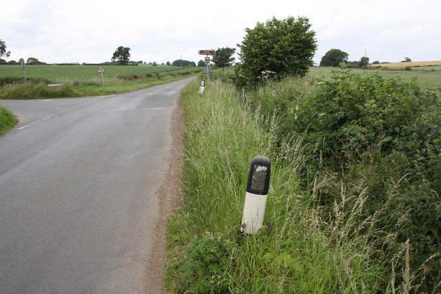
Image: © Roger Templeman Taken: 5 Jul 2015
There is a culverted drain Image under the road joining the ditch along the right hand side of Sinks Lane
Images are licensed for reuse under creativecommons.org/licenses/by-sa/2.0
Image Location
Latitude
54.296982
Longitude
-1.641044