View
Introduction
The photograph on this page of View by Derek Harper as part of the Geograph project.
The Geograph project started in 2005 with the aim of publishing, organising and preserving representative images for every square kilometre of Great Britain, Ireland and the Isle of Man.

There are currently over 7.5m images from over 14,400 individuals and you can help contribute to the project by visiting https://www.geograph.org.uk
View
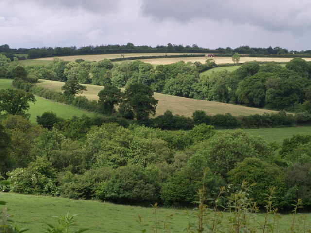
Image: © Derek Harper Taken: 15 Jun 2007
Looking across the valley shown in Image The stream, a tributary of the Lew, is hidden in the near trees. The fields beyond, between Beamsworthy and Patchacott, are in SX4797.
Images are licensed for reuse under creativecommons.org/licenses/by-sa/2.0
Image Location
Latitude
50.760732
Longitude
-4.156519