Newcastle-under-Lyme: footpath off A34
Introduction
The photograph on this page of Newcastle-under-Lyme: footpath off A34 by Jonathan Hutchins as part of the Geograph project.
The Geograph project started in 2005 with the aim of publishing, organising and preserving representative images for every square kilometre of Great Britain, Ireland and the Isle of Man.

There are currently over 7.5m images from over 14,400 individuals and you can help contribute to the project by visiting https://www.geograph.org.uk
Newcastle-under-Lyme: footpath off A34
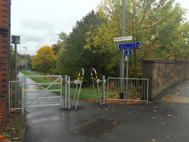
Image: © Jonathan Hutchins Taken: 24 Oct 2015
The 'Newcastle Greenway' follows a metalled path down to the main footpath, the trackbed of the former railway line to Market Drayton.
Images are licensed for reuse under creativecommons.org/licenses/by-sa/2.0
Image Location
Latitude
53.017377
Longitude
-2.230263