Alperton Community School Upper School
Introduction
The photograph on this page of Alperton Community School Upper School by Rod Allday as part of the Geograph project.
The Geograph project started in 2005 with the aim of publishing, organising and preserving representative images for every square kilometre of Great Britain, Ireland and the Isle of Man.

There are currently over 7.5m images from over 14,400 individuals and you can help contribute to the project by visiting https://www.geograph.org.uk
Alperton Community School Upper School
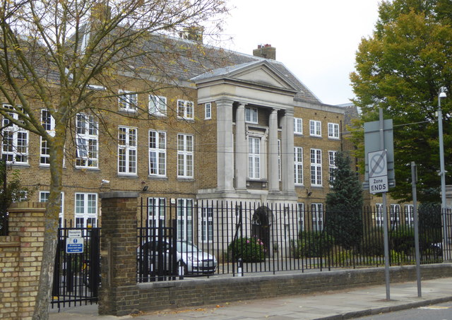
Image: © Rod Allday Taken: 16 Oct 2015
This building housed the grammar school, Wembley County School, which in 1967 was amalgamated with other schools in the area to form the comprehensive school called Alperton High School.
Images are licensed for reuse under creativecommons.org/licenses/by-sa/2.0
Image Location
Latitude
51.543096
Longitude
-0.292595