Gruggies Burn at Buchanan Street
Introduction
The photograph on this page of Gruggies Burn at Buchanan Street by Lairich Rig as part of the Geograph project.
The Geograph project started in 2005 with the aim of publishing, organising and preserving representative images for every square kilometre of Great Britain, Ireland and the Isle of Man.

There are currently over 7.5m images from over 14,400 individuals and you can help contribute to the project by visiting https://www.geograph.org.uk
Gruggies Burn at Buchanan Street
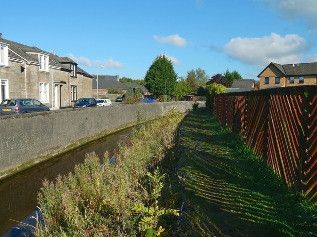
Image: © Lairich Rig Taken: 16 Oct 2015
The burn here runs parallel to Buchanan Street, which is on the left, behind the wall. It is probably safe to assume(*) that the street was named after Dr Buchanan (d.1871; see Image), who lived in nearby Knoxland House (now gone; see Image). (*) In this connection, I consulted the cuttings in Dumbarton Library: they do not give the reason for the name Buchanan Street, but they do mention that it was known as Boundary Street until at least 1901.
Images are licensed for reuse under creativecommons.org/licenses/by-sa/2.0
Image Location
Latitude
55.940603
Longitude
-4.55531