One way street
Introduction
The photograph on this page of One way street by Bob Harvey as part of the Geograph project.
The Geograph project started in 2005 with the aim of publishing, organising and preserving representative images for every square kilometre of Great Britain, Ireland and the Isle of Man.

There are currently over 7.5m images from over 14,400 individuals and you can help contribute to the project by visiting https://www.geograph.org.uk
One way street
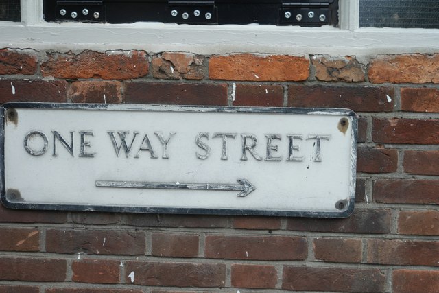
Image: © Bob Harvey Taken: 15 Oct 2015
Dating from the middle 20th century, this is an archaic form of road signage, dating from before the 1964 Worboys report. I am not sure this is entirely relevant any longer, because Boar Lane seems to be pedestrianised. It is just now a historical object, and I hope it remains. It can be seen in location at Image
Images are licensed for reuse under creativecommons.org/licenses/by-sa/2.0
Image Location
Latitude
53.077194
Longitude
-0.810998