Wood Fold Primary School
Introduction
The photograph on this page of Wood Fold Primary School by David Hignett as part of the Geograph project.
The Geograph project started in 2005 with the aim of publishing, organising and preserving representative images for every square kilometre of Great Britain, Ireland and the Isle of Man.

There are currently over 7.5m images from over 14,400 individuals and you can help contribute to the project by visiting https://www.geograph.org.uk
Wood Fold Primary School
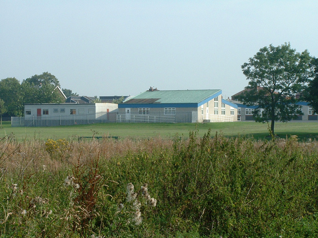
Image: © David Hignett Taken: 31 Aug 2005
Viewed looking north-east from the deeply-potholed Beech Walk, the rear aspect of this school is surprisingly one of the few distinctive features of this grid square... besides a graveyard!
Images are licensed for reuse under creativecommons.org/licenses/by-sa/2.0
Image Location


Leaflet Map data © OpenStreetMap
Latitude
53.582016
Longitude
-2.669086