Hayne Lane
Introduction
The photograph on this page of Hayne Lane by Nigel Mykura as part of the Geograph project.
The Geograph project started in 2005 with the aim of publishing, organising and preserving representative images for every square kilometre of Great Britain, Ireland and the Isle of Man.

There are currently over 7.5m images from over 14,400 individuals and you can help contribute to the project by visiting https://www.geograph.org.uk
Hayne Lane
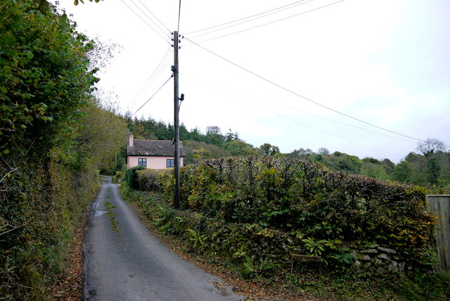
Image: © Nigel Mykura Taken: 23 Oct 2015
Hayne lane climbs steeply and meanders considerably across the steep sided valleys as it rises from the village of Wilmington on the A35 up to Stockland where it terminates right on the summit of Stockland Hill close to the TV transmitting mast. The cottage visible here is Rake Hill.
Images are licensed for reuse under creativecommons.org/licenses/by-sa/2.0
Image Location
Latitude
50.803527
Longitude
-3.111395