Penge High Street
Introduction
The photograph on this page of Penge High Street by Bill Boaden as part of the Geograph project.
The Geograph project started in 2005 with the aim of publishing, organising and preserving representative images for every square kilometre of Great Britain, Ireland and the Isle of Man.

There are currently over 7.5m images from over 14,400 individuals and you can help contribute to the project by visiting https://www.geograph.org.uk
Penge High Street
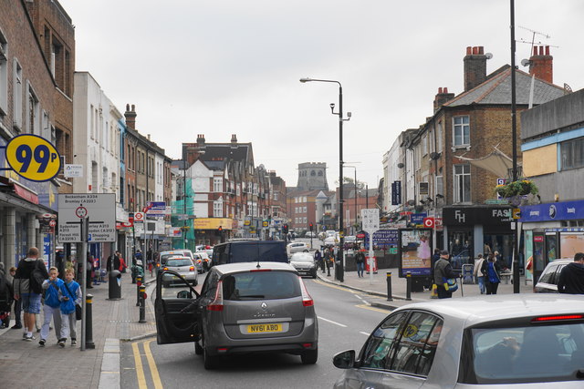
Image: © Bill Boaden Taken: 10 Oct 2015
The church in the dominant position ahead is Penge Congregational Church. It looks like it should be the Anglican parish church from here.
Images are licensed for reuse under creativecommons.org/licenses/by-sa/2.0
Image Location
Latitude
51.414899
Longitude
-0.052611