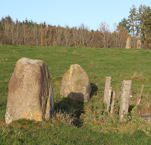
Druidsfield Standing Stones (2)
Introduction
The photograph on this page of Druidsfield Standing Stones (2) by Anne Burgess as part of the Geograph project.
The Geograph project started in 2005 with the aim of publishing, organising and preserving representative images for every square kilometre of Great Britain, Ireland and the Isle of Man.
There are currently over 7.5m images from over 14,400 individuals and you can help contribute to the project by visiting https://www.geograph.org.uk

Image: © Anne Burgess Taken: 22 Oct 2015
Two stones stand just outside the fence round the farm yard, and two more on the bank higher up. There is a suggestion that the two upper stones are the flankers of a recumbent stone circle, and that the recumbent was removed and built into the bank of the River Don. However the Royal Commission on the Ancient and Historic Monuments of Scotland does not quite ratify this suggestion. See http://canmore.org.uk/site/17519/druidstone-druidsfield for further details. Image]

