Bounds Green Road
Introduction
The photograph on this page of Bounds Green Road by Marathon as part of the Geograph project.
The Geograph project started in 2005 with the aim of publishing, organising and preserving representative images for every square kilometre of Great Britain, Ireland and the Isle of Man.

There are currently over 7.5m images from over 14,400 individuals and you can help contribute to the project by visiting https://www.geograph.org.uk
Bounds Green Road
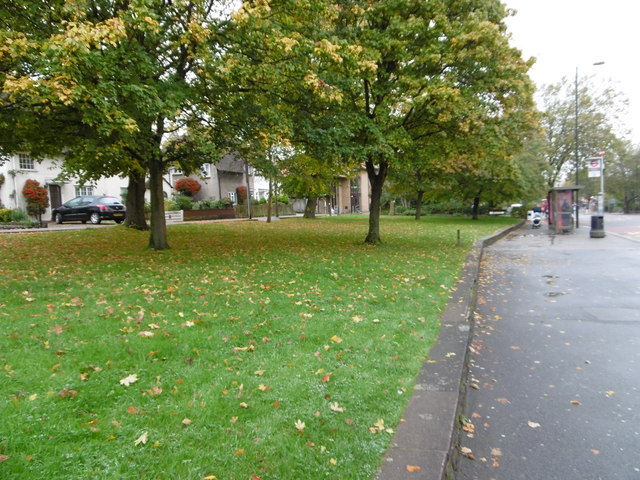
Image: © Marathon Taken: 21 Oct 2015
This small green separates Bounds Green Road to the right and Rhys Avenue to the left. Bounds Green Underground station is just behind.
Images are licensed for reuse under creativecommons.org/licenses/by-sa/2.0
Image Location
Latitude
51.607085
Longitude
-0.125272