Woods near Nobleston: Croft Huggan
Introduction
The photograph on this page of Woods near Nobleston: Croft Huggan by Lairich Rig as part of the Geograph project.
The Geograph project started in 2005 with the aim of publishing, organising and preserving representative images for every square kilometre of Great Britain, Ireland and the Isle of Man.

There are currently over 7.5m images from over 14,400 individuals and you can help contribute to the project by visiting https://www.geograph.org.uk
Woods near Nobleston: Croft Huggan
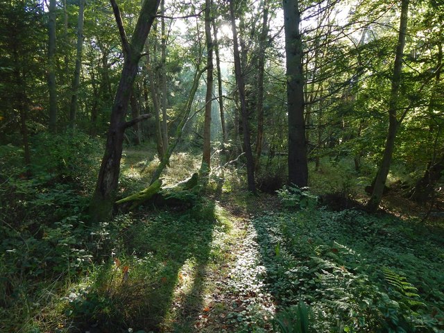
Image: © Lairich Rig Taken: 16 Oct 2015
Some of the mist that had filled the Leven and Clyde valleys earlier in the morning lingered here. The name Croft Huggan is applied to this area of woodland on large-scale mapping. Roy's Military Survey of Scotland (mid-eighteenth century) makes the origin of the name clear: there used to be a farm called Crofthoggan nearby.
Images are licensed for reuse under creativecommons.org/licenses/by-sa/2.0
Image Location
Latitude
55.974571
Longitude
-4.564282