Across the Bogie Water
Introduction
The photograph on this page of Across the Bogie Water by Anne Burgess as part of the Geograph project.
The Geograph project started in 2005 with the aim of publishing, organising and preserving representative images for every square kilometre of Great Britain, Ireland and the Isle of Man.

There are currently over 7.5m images from over 14,400 individuals and you can help contribute to the project by visiting https://www.geograph.org.uk
Across the Bogie Water
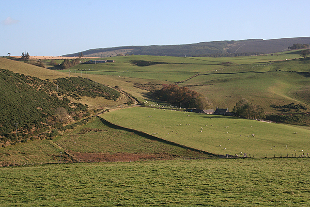
Image: © Anne Burgess Taken: 22 Oct 2015
This is the view from beside the Image The Water of Bogie runs through the floor of the valley. Beyond it, the nearest farm is Barflat, which is just in the next square. Above and to the left is Bankhead (not to be confused with other places of the same name; this one is in the parish of Rhynie). The intervening farm, Sandholes, is hidden by the lie of the land.
Images are licensed for reuse under creativecommons.org/licenses/by-sa/2.0
Image Location
Latitude
57.322065
Longitude
-2.832224