Construction of houses, Scocles Road
Introduction
The photograph on this page of Construction of houses, Scocles Road by John Baker as part of the Geograph project.
The Geograph project started in 2005 with the aim of publishing, organising and preserving representative images for every square kilometre of Great Britain, Ireland and the Isle of Man.

There are currently over 7.5m images from over 14,400 individuals and you can help contribute to the project by visiting https://www.geograph.org.uk
Construction of houses, Scocles Road
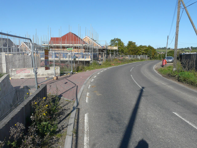
Image: © John Baker Taken: 27 Sep 2015
Planning permission has been granted by Swale Borough Council under application number SW/12/1311 for the “redevelopment of existing redundant farm buildings including elements of demolition - redevelopment proposals to provide mixed residential development for a total of 19 mixed dwellings of 2 storey and single storey construction together with their associated garages and parking barns and improvement of existing vehicular access”. These Image are those referred to in the application as existing redundant farm buildings.
Images are licensed for reuse under creativecommons.org/licenses/by-sa/2.0
Image Location
Latitude
51.411978
Longitude
0.80151