Clatt Village Hall
Introduction
The photograph on this page of Clatt Village Hall by Anne Burgess as part of the Geograph project.
The Geograph project started in 2005 with the aim of publishing, organising and preserving representative images for every square kilometre of Great Britain, Ireland and the Isle of Man.

There are currently over 7.5m images from over 14,400 individuals and you can help contribute to the project by visiting https://www.geograph.org.uk
Clatt Village Hall
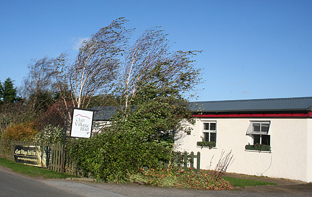
Image: © Anne Burgess Taken: 22 Oct 2015
Compare this with Image], 6 years earlier. The bushes seem to have grown up and are obscuring much of the building. Note also how windy it was today - the trees are fairly bending before the gale.
Images are licensed for reuse under creativecommons.org/licenses/by-sa/2.0
Image Location
Latitude
57.323201
Longitude
-2.76649