Towards Buckham Cross
Introduction
The photograph on this page of Towards Buckham Cross by Derek Harper as part of the Geograph project.
The Geograph project started in 2005 with the aim of publishing, organising and preserving representative images for every square kilometre of Great Britain, Ireland and the Isle of Man.

There are currently over 7.5m images from over 14,400 individuals and you can help contribute to the project by visiting https://www.geograph.org.uk
Towards Buckham Cross
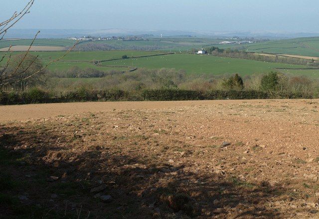
Image: © Derek Harper Taken: 21 Apr 2015
An arable field beside the lane shown in Image], with a distant view towards a white house at Buckham Cross in Image The even more distant village left of centre is Mariansleigh.
Images are licensed for reuse under creativecommons.org/licenses/by-sa/2.0
Image Location
Latitude
50.959878
Longitude
-3.816843