Hook Cross Furley
Introduction
The photograph on this page of Hook Cross Furley by Nigel Mykura as part of the Geograph project.
The Geograph project started in 2005 with the aim of publishing, organising and preserving representative images for every square kilometre of Great Britain, Ireland and the Isle of Man.

There are currently over 7.5m images from over 14,400 individuals and you can help contribute to the project by visiting https://www.geograph.org.uk
Hook Cross Furley
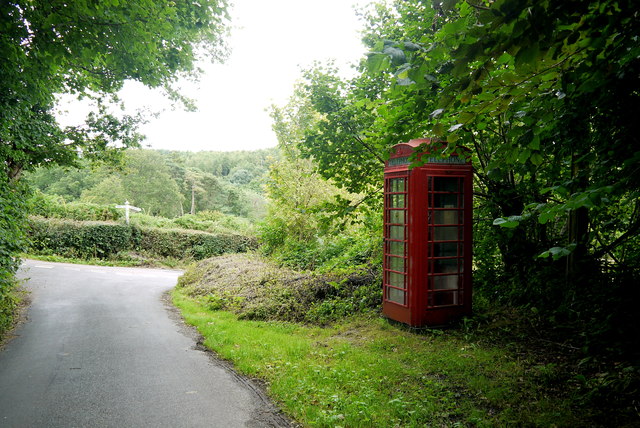
Image: © Nigel Mykura Taken: 7 Aug 2015
This is the view from the small lane with the old red telephone box that runs up into Furley Village from Thorn Lane.
Images are licensed for reuse under creativecommons.org/licenses/by-sa/2.0
Image Location
Latitude
50.835161
Longitude
-3.035461