Stansfield Mill Lane, Norland
Introduction
The photograph on this page of Stansfield Mill Lane, Norland by Humphrey Bolton as part of the Geograph project.
The Geograph project started in 2005 with the aim of publishing, organising and preserving representative images for every square kilometre of Great Britain, Ireland and the Isle of Man.

There are currently over 7.5m images from over 14,400 individuals and you can help contribute to the project by visiting https://www.geograph.org.uk
Stansfield Mill Lane, Norland
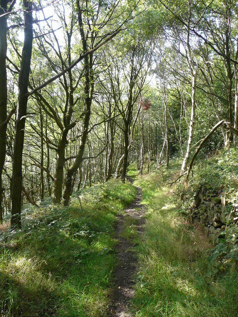
Image: © Humphrey Bolton Taken: 6 Sep 2015
According to Calderdale Council's transport network map this is an adopted highway. I thought that it was surfaced with stone setts, but that was perhaps only the steeper parts. Rough Hey Wood is on the left.
Images are licensed for reuse under creativecommons.org/licenses/by-sa/2.0
Image Location
Latitude
53.695323
Longitude
-1.931811