Furley
Introduction
The photograph on this page of Furley by Nigel Mykura as part of the Geograph project.
The Geograph project started in 2005 with the aim of publishing, organising and preserving representative images for every square kilometre of Great Britain, Ireland and the Isle of Man.

There are currently over 7.5m images from over 14,400 individuals and you can help contribute to the project by visiting https://www.geograph.org.uk
Furley
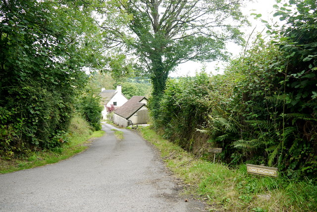
Image: © Nigel Mykura Taken: 7 Aug 2015
View down Long Orchard which at one time ran down to the large house of Rokehay Farm (spelt Roakhay on old maps) but now terminates at several more recent properties.
Images are licensed for reuse under creativecommons.org/licenses/by-sa/2.0
Image Location
Latitude
50.83425
Longitude
-3.036719